Met Office confirms warmest summer as low pressure brings wet, blustery start to meteorological autumn
Forecasters say a midweek low will bring rain and winds but is not expected to meet criteria for a named storm; temperatures may edge up at the weekend but a September heatwave looks unlikely.
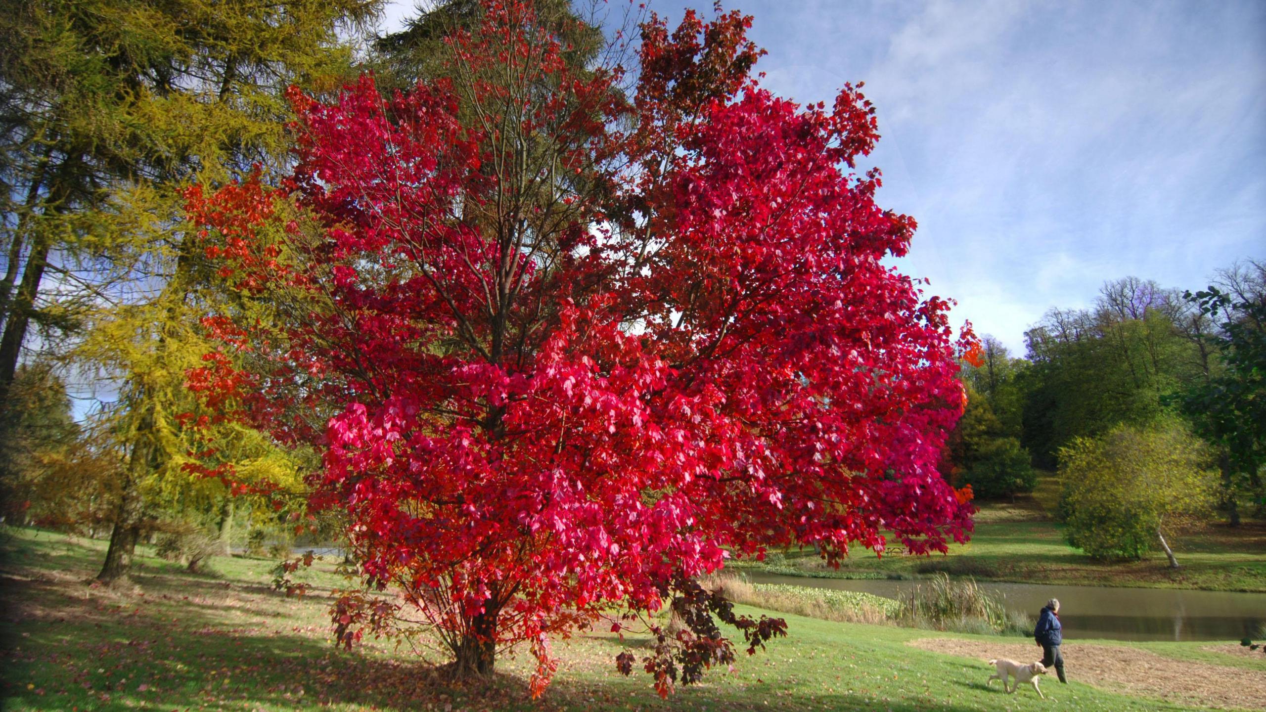
The Met Office has confirmed that the UK experienced its warmest summer on record as meteorological autumn begins, but the immediate outlook is for unsettled, blustery weather rather than a prolonged September heatwave.
For much of the week ahead, areas of low pressure are expected to push bands of rain and strong winds across the country. Temperatures are forecast to remain around the seasonal average for several days before edging a little higher towards the weekend. Forecasters say the weekend rise is not expected to produce the prolonged high temperatures associated with an "Indian summer" or a true heatwave.
A potentially deep area of low pressure due to move in on Wednesday should bring the most widespread wet and windy weather of the week, the Met Office said, though it added conditions were not expected to be severe enough to warrant naming as Storm Amy. Storms affecting the UK and Ireland are named by the Met Office, Met Eireann or the Royal Netherlands Meteorological Institute (KNMI) when they are judged likely to have substantial impacts on people or infrastructure.
The Met Office on Monday also published the first names on its storm list for the 2025/26 season. The opening names are Amy, Bram, Chandra and Dave. Naming is intended to raise public awareness and aid communication about potentially disruptive weather.
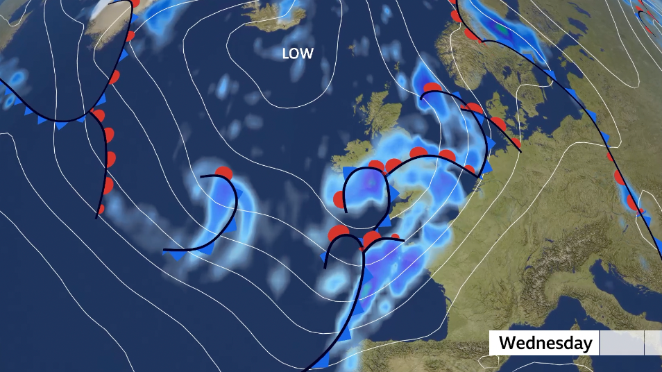
Rainfall totals are likely to be notable in places through midweek and into the weekend, with forecasters advising that some areas will see repeated showers and longer spells of rain as systems track across the region. Coastal and exposed parts of the country are expected to experience the strongest winds associated with the passing lows.
The confirmation of the warmest summer on record follows national and international attention on rising temperatures and changing seasonal patterns. While individual seasonal records can reflect natural variability, meteorologists and climate scientists note that a long-term warming trend affects the frequency and intensity of extreme heat events.
Observers should watch national weather service updates for any changes to the risk assessment, including whether any developing systems meet the threshold for a named storm. The Met Office typically issues updated warnings and guidance as systems evolve and forecasts are refined.
For now, forecasters say much of the public can expect a transition to more unsettled, autumnal conditions rather than an extended spell of unseasonably warm weather. Those planning travel or outdoor activities over the coming days are advised to check the latest local forecasts and weather warnings.